.png)

Next-level Fire Detection
From spark to signal, Fire Foresight provides intelligence that acts in real time.
The Fire Foresight Tech Stack
Fire Foresight leverages AI-enabled computer vision to offer an advanced wildfire detection and management solution. It employs AI-driven fire cameras and a cloud-based visualisation platform, enhancing early detection and response capabilities across various landscapes. This technology enables rapid identification of smoke signals, delivering real-time alerts and visual data through a centralised dashboard for effective emergency management.

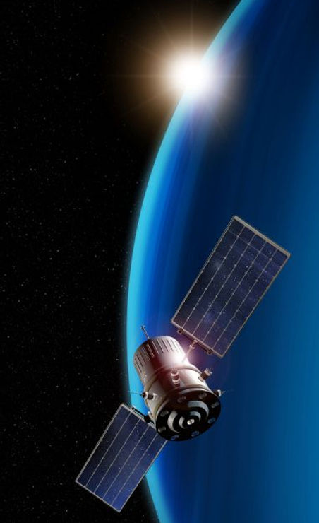
Earth Observation
POWERED BY THE ORBITFY NETWORK
Fire Foresight uses the Orbitfy global satellite network to detect wildfires in under 10 minutes, even in the most remote regions. It analyses current satellite imagery alongside historical fire data, topography, vegetation, accessibility, and suppression difficulty to determine likely spread and containment success.
Key Features:
-
Orbitfy AI on satellites for near-instant insights.
-
ML-powered satellite data analysis for enriched fire intelligence.
-
Real-time evaluation of fire behaviour and suppression potential.
-
Combines AI models and geospatial data to assist in strategic response planning.
Weather Monitoring & On-Ground Sensors
ENVIRONMENTAL INTELLIGENCE YOU CAN TRUST
Fire Foresight integrates comprehensive meteorological and ground-based data to detect fire-prone conditions before ignition and support situational awareness during events.
Includes:
-
Lightning strike detection assists in tracking ignition points and hotspot activity
-
Ground sensors measure temperature, humidity, and early signs of fire in high-risk zones.
-
Mobile-enabled weather stations monitor wind, rain, and temperature using LTE, LoRaWAN, or satellite connectivity even in remote areas.
-
Potential control location indicators help assess suitability of terrain and weather for fire suppression efforts.


AI Fire Detection Cameras
PRECISION COMPUTER VISION FOR EARLY
FIRE SPOTTING
Our AI-enabled camera network continuously scans landscapes for smoke and fire, using advanced optical and thermal imaging.
Custom-built machine learning algorithms detect anomalies and classify fire events in real time.
Highlights:
-
Day & night surveillance / dual-spectrum (optical + thermal) imaging.
-
AI-Based Detection & classification identifies and filters real fire threats from false positives.
-
Uses digital elevation models (DEM) and ray-casting to triangulate fire coordinates.
-
GIS & emergency integration for seamless connection to operational platforms for live visibility.
